
Severe thunderstorms with destructive winds, very large hail, a couple tornadoes, and excessive rainfall will move across southern Oklahoma and northern Texas overnight. On Monday, scattered damaging winds, a couple tornadoes, and isolated large hail is possible across the Southeast U.S. into the Upper Ohio Valley. Excessive rainfall may bring flooding in the northern Gulf Coast and Northeast US. Read More >
Last Map Update: Mon, Jun 9, 2025 at 12:32:17 am PDT


|
Text Product Selector (Selected product opens in current window)
|
|


 Social Media Feeds
 Sacramento Radar
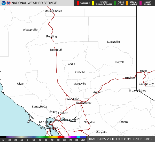 Beale Radar
 Satellite
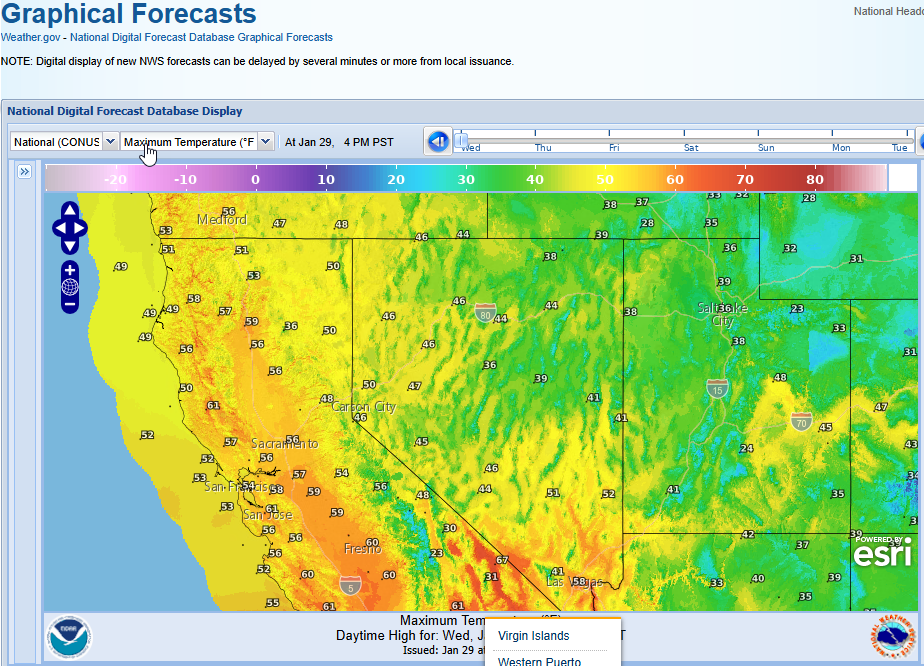 Graphical Forecasts - Local
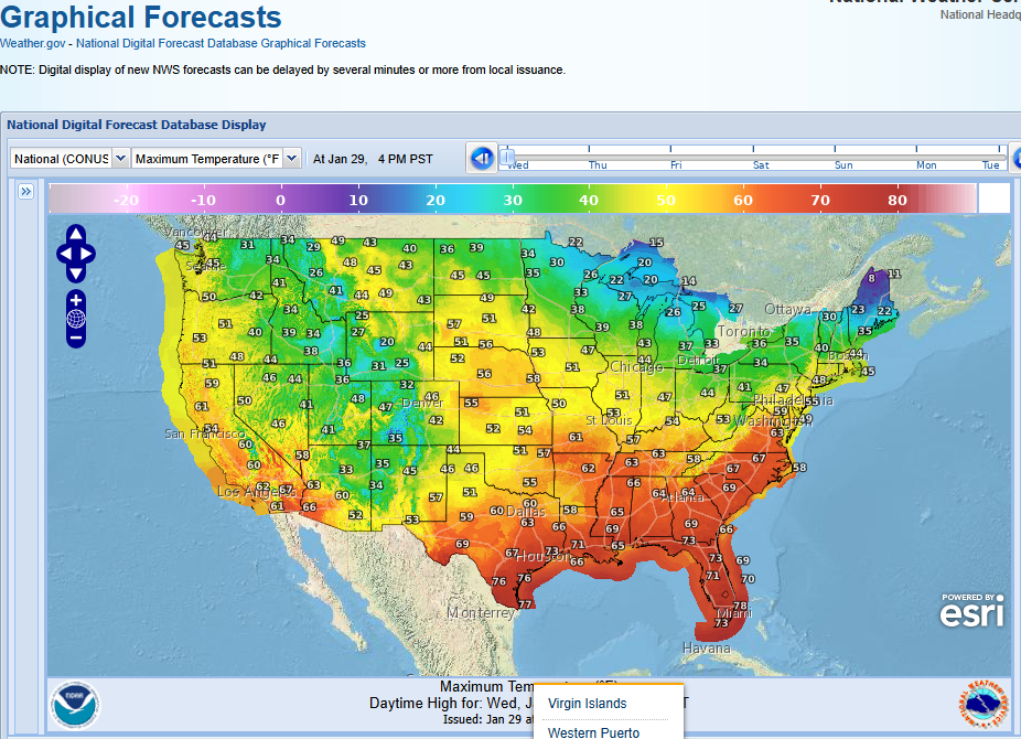 Graphical Forecasts - U.S.
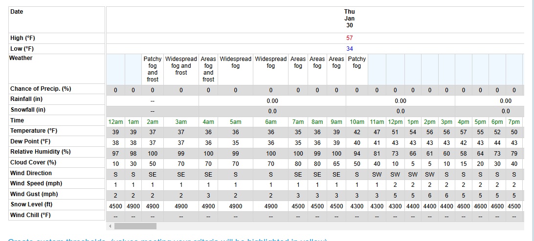 Forecast Weather Tables
 Recent STO Temperatures
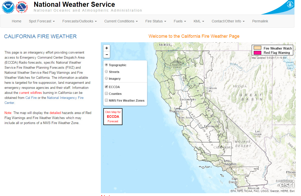 California Fire Weather Page
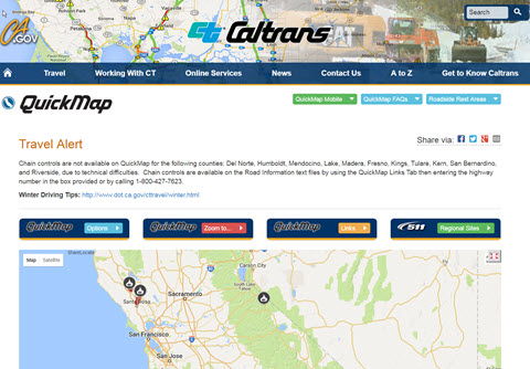 Caltrans QuickMap
 Heat Risk Link
 Experimental Smoke Forecast